Kedar Tal Trek: Turquoise Waters Beneath Thalay Sagar
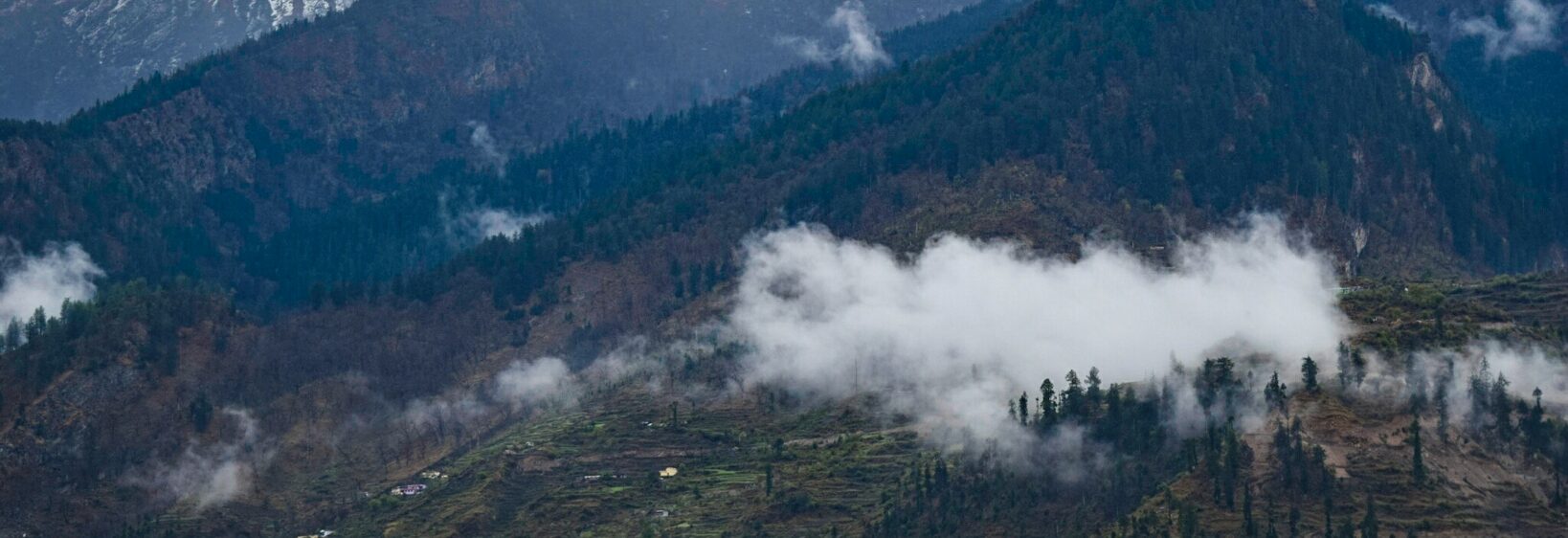
The Kedar Tal trek leads into the high Garhwal Himalaya from Gangotri, tracing a rugged trail through pine forests, alpine meadows and stark glacial terrain. Its reward is Kedar Tal, a brilliant turquoise lake set at roughly 4,750 metres, with the sharp profile of Thalay Sagar rising dramatically behind it.
This is a demanding Himalayan walking holiday rather than a casual sightseeing trip. For travellers flying from Sydney, Melbourne, Brisbane or Perth, the journey combines long international travel, a road transfer into Uttarakhand and several days of camping at altitude. Careful acclimatisation, a reliable local team and sensible seasonal planning are essential.
| Trek feature | Typical detail | Why it matters |
|---|---|---|
| Starting point | Gangotri, Uttarkashi district | The trail begins high, so acclimatisation is important |
| Trek distance | About 17 km each way | Short on a map, but rough and steep underfoot |
| Highest point | Around 4,750 metres | Altitude can affect even fit hikers |
| Main landmark | Kedar Tal and Thalay Sagar | Exceptional lake and mountain views |
| Usual duration | Five to six days | Allows for camping, weather and gradual ascent |
| Best windows | May to June and September to October | Snow and monsoon conditions vary considerably |
Reaching Gangotri And The Trailhead
Most itineraries begin with travel to Dehradun or Haridwar, followed by a long mountain drive through Uttarkashi and Harsil. Gangotri is a sacred town associated with the source of the Ganges, and pilgrims often share the road with trekking groups during the open season. Travellers following a broader pilgrimage itinerary can use this Char Dham planning guide to understand the regional distances and road conditions.
The walking route usually passes through Bhoj Kharak and Kedar Kharak before reaching the lake. The path can be narrow, rocky and exposed, with sections through birch woodland and open moraine. A local guide, porter support and current permit information should be arranged before departure, as regulations and route access can change.
Kedar Tal And Thalay Sagar
Kedar Tal is famous for its unusual colour, which shifts between deep blue and vivid turquoise depending on sunlight, cloud and surrounding rock. The lake sits in a severe landscape of ice, scree and snowfields, creating a sharp contrast with the softer forest scenery lower down.
Thalay Sagar, rising to about 6,904 metres, is the visual centrepiece. Its dark granite walls and steep summit dominate photographs from the shoreline, while nearby peaks such as Bhrigupanth add to the amphitheatre-like setting. Clear mornings generally offer the best views before cloud gathers around the ridges.
Fitness, Altitude And Walking Conditions
A good level of cardiovascular fitness helps, but endurance alone does not remove altitude risk. The rapid gain from Gangotri to the lake can bring headache, nausea, poor sleep or unusual fatigue. Walk slowly, drink regularly and tell your guide immediately if symptoms worsen. Descending is the correct response to serious altitude illness.
Australian hikers used to the Blue Mountains, Grampians or alpine tracks near Canberra may find the Himalayan surface far less predictable. There are no marked rest stops, maintained toilets or mobile coverage throughout much of the route. A relaxed pace is safer than trying to match a faster trekking companion.
Useful Equipment For The High Route
- Broken-in waterproof trekking boots with strong grip
- Warm layers, gloves, sunglasses and high-SPF sunscreen
- Headlamp, refillable water bottle and personal medication
- Sleeping bag suitable for sub-zero nights
Camps, Food And Local Support
Camping is central to the experience. Bhoj Kharak and Kedar Kharak are common overnight areas, while the final camp near the lake depends on weather, permits and the condition of the route. Facilities are basic, and trekkers should expect tent accommodation rather than lodges or hot showers.
Meals are generally simple, filling and prepared by the support crew: rice, dal, vegetables, roti, noodles and tea are common. Australians accustomed to buying snacks at a service station or carrying supermarket trail mix should bring preferred energy food from Dehradun, while respecting local waste rules and carrying rubbish back.
When To Go And What To Expect
May and June usually provide a practical pre-monsoon window, although snow may remain on higher sections. September and October can bring crisp skies and excellent mountain visibility after the rains. July and August are less reliable because of landslides, slippery paths and disrupted road travel.
The route is not suitable for travellers seeking a flexible weekend escape from Delhi or a quick add-on to a Rajasthan itinerary. From Australia, allow extra days for road delays and recovery. Indian rupees are useful for local purchases, and an Indian SIM or working eSIM can be more dependable than relying on international roaming in remote valleys.
Photography And Responsible Travel
Kedar Tal rewards patience: early light can turn Thalay Sagar pink, while mist creates a moodier view of the lake. A lightweight camera, spare batteries and a dry bag are more practical than a heavy professional kit. Photographers can find regional destination ideas through the Uttarakhand travel gallery before building a route.
Gangotri is a living pilgrimage landscape, not simply a trekking base. Dress modestly near temples, ask before photographing residents and avoid loud behaviour around shrines. Keep to established campsites, avoid single-use plastic, use designated toilet areas and leave alpine plants, stones and prayer objects undisturbed. These small choices help protect a fragile route that supports both local communities and visiting trekkers.