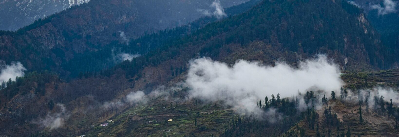
The Dobato trek: camping at the confluence of two rivers
The Dobato trek reaches a small, often overlooked meeting point in Chamoli, where the Dhauliganga joins the Alaknanda. Close to Gulling and Joshimath, it combines forest walking, village scenery and a night beside the water without the commitment of a major summit expedition.
The destination is sometimes labelled Dobi on maps, while Dobato commonly refers to the trek or surrounding area. A tent is the most dependable choice because lodging near the confluence is basic and not consistently available. The reward is an early morning at the sangam, when mist rises from two contrasting river channels.
Choosing the right route
Most visitors use Gulling as the trailhead and build a short circuit around the confluence.
| Route option | Typical duration | Overnight arrangement | Best suited for |
|---|---|---|---|
| Gulling–Dobato return | 2 days, 1 night | Tent beside Gulling or Dobi | First-time Himalayan trekkers |
| Extended forest circuit | 2–3 days | Camp or simple village lodge | Walkers wanting a slower return |
| Darkot Bugyal route | 3 days or more | Tent and trekking equipment | Experienced trekkers seeking wildflower country |
Many visitors travelling from Sydney or Melbourne connect through Delhi or Mumbai, then continue by rail and road towards Haridwar, Rishikesh and Joshimath. The final stretch usually involves a shared jeep or taxi to Gulling, so allow extra time for mountain traffic, narrow roads and changing pickup arrangements.
Walking from Gulling to Dobato
The trail from Gulling covers roughly 12–14 kilometres, depending on the exact destination and route used. It passes through village settlements, shaded woodland and open clearings before reaching the Dhauliganga valley. Bridges and streams add variety, but monsoon damage can make some sections slippery and slippery boards slippery.
The neighbouring high-country route described in Darkot wildflower camping offers a useful contrast: it places greater emphasis on meadows, alpine plants and longer camps rather than the compact rhythm of the Dobato circuit.
Choosing a riverside campsite
Camping is usually arranged close to Dobi village and the riverbank, although the exact pitch may depend on local guidance, available space and river conditions. Ask your host or operator where camping is permitted rather than choosing an exposed sandbar beside the confluence. Flooding and erosion can turn an attractive riverside pitch into an uncomfortable or unsafe one.
Pack a warm sleeping bag, insulated mat and headlamp. The moving water can make the camp louder than expected, particularly when the current meets the Alaknanda. Earplugs are useful, but rubbish, food scraps and used toilet items must always be carried out. Fire restrictions may apply, so check local rules and avoid collecting wood.
Food, gear and money in the hills
Treat Dobato as a self-sufficient camp. Carry a tent, suitable sleeping layers, a reliable headlamp, first-aid supplies, a water filter or purification tablets, and enough fuel for a small stove where permitted. Shop-bought meals should be compact and high in energy, while tea, biscuits or basic noodles can add comfort when available.
Contactless cards and mobile wallets are routine in Australian cities, but small village shops near Gulling may have limited supplies and inconsistent connectivity. Carry modest amounts of Indian rupees in small notes. Australian outdoor retailers are a useful place to test tents and sleeping systems before departure, since unfamiliar equipment is best tested away from a cold mountain camp. For transfers, local stays and a tailored itinerary, travel planning with Pimsandra can help organise the logistics.
Weather, wildlife and safe water
Late April to June and late September to mid-October generally provide the most comfortable conditions. Winter can bring snow, freezing nights and difficult road access, while the monsoon period brings landslides, swollen streams and a greater risk of isolation. Check local conditions shortly before travelling rather than relying solely on a seasonal guide.
Do not drink untreated river water, even where it appears clear. Leech activity is common in wet forest, and cattle, monkeys and Himalayan black bears may all appear along the wider trail. Keep food sealed, leave no rubbish and make noise when moving through areas with bear signs. Never approach or feed wildlife.
Meeting local communities respectfully
Gulling, Dobi and surrounding settlements depend partly on visitors who employ local drivers, porters, guides and lodge owners. Hiring locally distributes more of the trip’s economic benefit and provides valuable knowledge about weather, river levels and safe camping locations. Garhwali and Hindi are widely understood, while a simple “namaste” is a courteous greeting.
Ask before photographing people, homes, temples or religious activity, and follow any request to remove footwear. Avoid photographing ceremonies without permission. Buying directly from regional craftspeople is preferable to purchasing anonymous souvenirs, and the stories behind Uttarakhand craft traditions add meaning to items such as carved wood and painted aipan motifs.
A practical two-day rhythm
On the first day, travel from Joshimath to Gulling, eat an early meal and allow time to adjust to the altitude before continuing towards Dobato. The final walk should be unhurried, particularly if the path is wet or a group includes children. Reach the camp before dusk, locate a safe pitch and prepare dinner while there is still daylight.
The second morning begins beside the confluence, followed by breakfast and a return walk to Gulling or a longer route if conditions permit. Australian passport holders who qualify under current rules should use the official Indian e-visa process and carry their passport and approval. Check Smartraveller advice, obtain any required camping permission and remember that CASA drone registration does not authorise flights in India. A headlamp, offline map and the Indian emergency number 112 belong in every pack.